Australian Radiotelescope Maps the Sky in 300 Hours
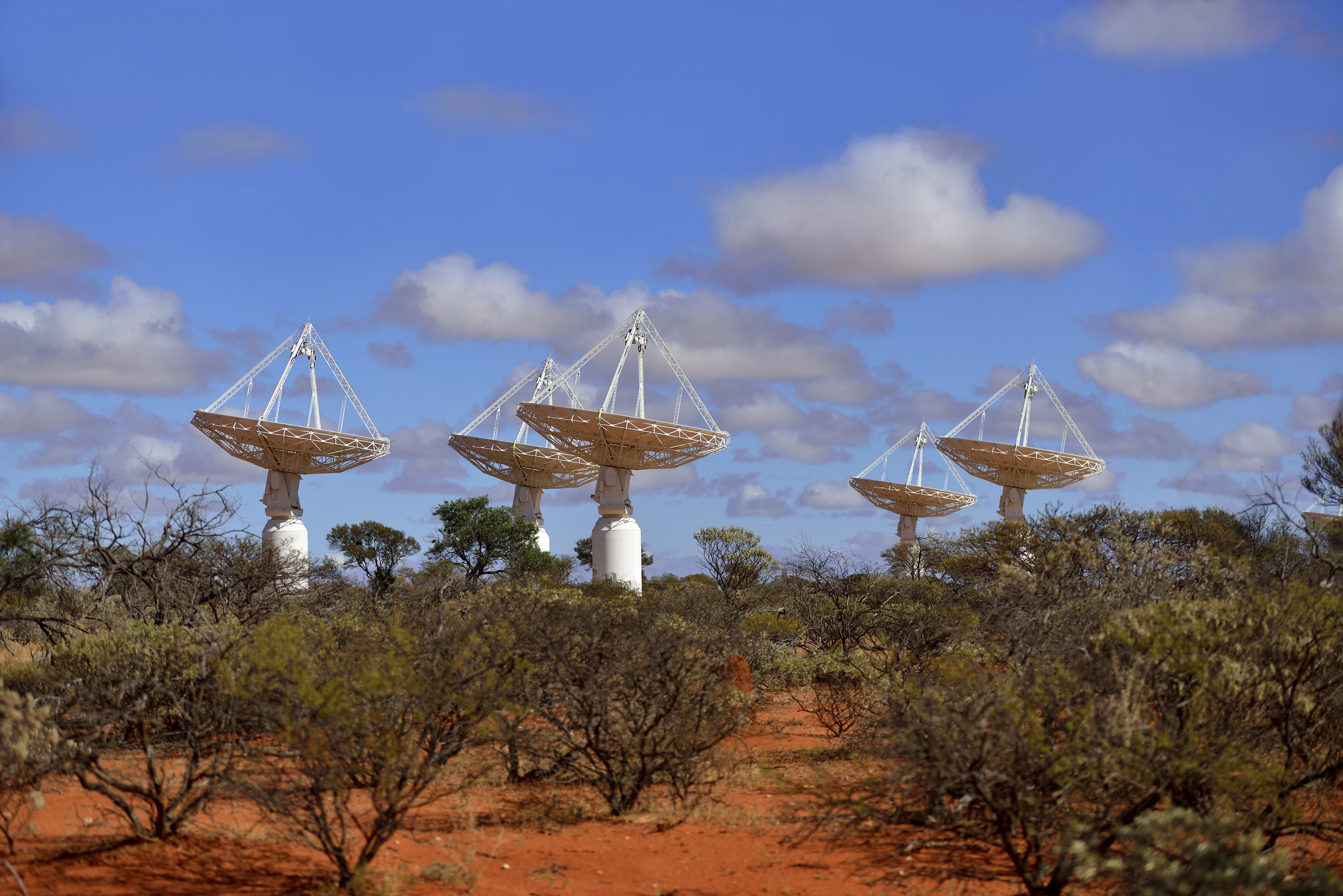
The Australian Square Kilometre Array Pathfinder located in the outback of Western Australia mapped approximately three million galaxies in just 300 hours, observing 83 % of the sky.
The Rapid ASKAP Continuum Survey produces a map of the Universe in which distant galaxies are represented by points. The map is realized by combining only 903 images and generating 13.5 exabytes of raw data that were converted into 2D radio images with 70 billion pixels.
The initial results are published today in the Publications of the Astronomical Society of Australia.
The new data will enable astronomers to undertake statistical analyses of large populations of galaxies, in the same way social researchers use information from a national census.
The images and catalogues from the survey will be made publicly available through the CSIRO Data Access Portal and hosted at Pawsey.